

DISTANCE: 8.24 km / 5.12 miles
ELEVATION GAIN: 336m / 1101 ft.
TIME: 2:30
SUMMIT: Coyote Peak: 352m / 1155’
SANTA TERESA COUNTY PARK
SANTA CLARA COUNTY, CA
SOUNDTRACK: Goatsnake: El Coyote
PHOTO ALBUM
MAP
Thursday morning, in the second of my three day South San Jose hiking streak, Amber and I parked just outside of Santa Teresa County Park, because it doesn’t have a parking lot in that area. It was our second visit to that park. Last time, I had been foiled in my attempt (OK, I didn’t actually try, I just wanted to go, but it had been getting late) to visit the high point of the park, Coyote Peak. Today, I would make it. As we strolled the Ohlone Trail, Amber regaled me with tales of devious South San Jose childhood days in this very park. It had practically been her back yard. The day began fully overcast, but by the end of the hike, it was almost full sunlight, wispy clouds across an azure sky. The trail wound through oak groves that were rather lush this time of year, and on the wildlife spectrum, it wasn’t long until a Cooper’s Hawk and a rather large “Leopard Slug” were spotted.
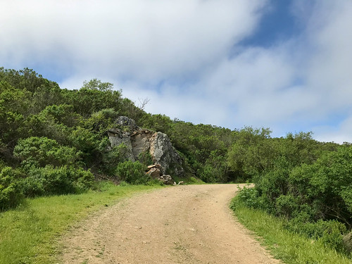
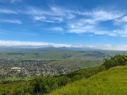
Our path wound around the east side of the mountain, became the Coyote Peak Trail, and went past some exposed sedimentary rock layers. The clouds had begun to part at this point, revealing a view off of the mountain, and a spectacular spring day. While there was a pretty good vantage from Coyote Peak (it’s the highest point in South San Jose that’s not in the Santa Cruz Mountains), there were the typical communications facilities up there. We came back down on the Hidden Springs Trail, composing a fine loop through the eastern part of the park. There was a good view from there back up at Coyote Peak.
At the bottom of the hill, but before we rejoined the Ohlone Trail, we temporarily detoured on and old, abandoned paved road, two lane blacktop, falling apart. Weird. Not on the map. Soon, we were back at the beginning of the hike, but instead of departing the park, we extended the the trip by going up the Laurel Canyon Nature Trail, where there are little signs to help you identify the plants. I studied them diligently, hoping that some enhanced botanical knowledge will increase my credibility as an outdoor writer. The canyon was verdant and shady, and at the end was a tiny waterfall pouring down over the rocks. Amber said she used to come here to smoke weed, a pretty good place for it.
FURTHER READING
HIKING PROJECT: A good description of the trail
SANTA TERESA PARK FRIENDS: More detailed info on the hike


