DATE: Sunday, January 26 2020
DISTANCE: 9.34 miles
ELEVATION GAIN: 1408 ft.
TIME TAKEN: 4:55 hours
PHILLIP BURTON WILDERNESS
MARIN COUNTY, CA
PHOTO ALBUM HERE

Marin County's Alamere Falls is a spectacular waterfall known for cascading down a 30 foot cliff directly onto the beach. It's very popular, blown up on social media, and probably over visited. I could have done it a favor by never visiting at all, but I'm a white American male, and I feel entitled to my piece of EVERYTHING! RIGHT? Errr….. OK, what I really AM is an enthusiastic waterfall seeker, and this venture has been at the top of my list for quite some time. My brother Alex told me he had Sunday set aside for Alamere, so I penciled it in. I ended up not having to work, so Saturday night I refrained from going to the thrash metal show at Eli's Mile High Club, and just stayed up super late at home instead. At least I didn't get wasted. After about 3.5 hours sleep, I got up at 5AM, got my supplies together, and met up with Alex at his house. He had just bought a Honda Civic, so we were going to save a ton gas and drive THAT to the trailhead instead of my giant van. Accompanied by Alex's co-worker Marisol, we were off by about 6:30.
 |
| Tree tunnel |
We slipped effortlessly through the dreamy, pre-dawn darkness of the Bay Area. Murky fog, forests, cliffs and suburban homes lurked in the mysterious haze. We were
on the trail just before 8AM, with three other cars in the parking lot. Refreshed by an overnight rain, the environment was exceedingly
lush, verdant, bursting with life. The
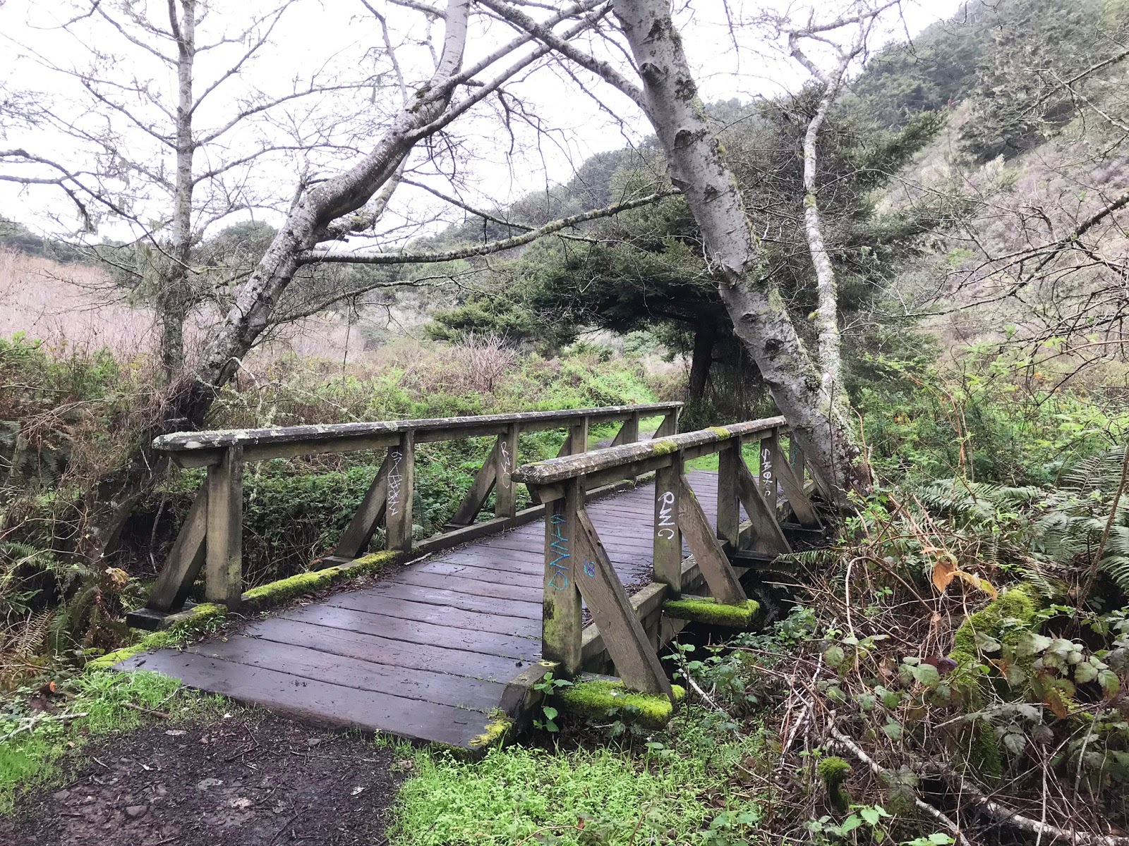
muddy trail weaved around forested hillsides, over creeks on
footbridges, and back out to some
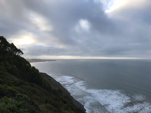
coastal cliffs at one point. Our only company was the the occasional pack of trail runners. ("Does anybody just HIKE anymore?")
The damp woods had a mystical sylvan vibe that was enhanced by the presence of many fresh patches of
giant mushrooms, many shapes and colors, few which I could name, except the famous
Amanita Muscaria. Pink earthworms littered the trail, sparrow and quail darted about, and
newts scurried to and fro, nature's ensemble at play.
The coastal trail passes by a few small,
unnamed ponds, and then two larger ones,
Bass Lake and
Pelican Lake. Just past Pelican Lake is the left turn which leads you to the "unofficial" Alamere Falls trail. Even though there is a conspicuous arrow made of rocks that points to it, I walked right past ( I though maybe it was the trail to Double Point or something.) When I got to
another footbridge, crossing Alamere Creek, I knew I had gone too far. I turned to Alex and Marisol and said, "Fuck, I think it was actually the arrow back there." So we went back and followed it into the bush. Like I said it's not an official trail, but it's the one that everyone uses to get to the falls. Read
HERE why they don't want you to go this way.
 |
| A bridge too far |
The trail opened up into some
brushy meadows and rolling hills, and soon we were
atop the muddy chutes that lead down to the waterfall area. This is one of the "dangerous" areas that the park service would like people to avoid. Here you could see Alamere Creek
begin it's plunge into a small canyon down to the beach in a series of cascades. Down the chutes, and were atop a brief coastal shelf, which
the creek spills across, towards it's final
30 foot plunge over the edge. We had come as early as we could so that the tide would not be high, but the low tides of the day were before sunrise, and after sunset, so when we got there, about 10AM, even medium tide was already too high to walk onto the beach and look UP at the falls, so we had to settle for looking down it. Alex and I had a look at the other "dangerous" part,
the chute that leads down to the beach, which is where you could go to look up at the falls if the tide was low enough. It was barely class 3, but slippery from sea spray. I can see it being a little dangerous for an inexperienced climber or drunk teenager.
 |
| Pelican Lake |
We enjoyed our lunch on the bluff by the falls, and watched as groups of hikers came and went, with more frequency as the hour grew later. Alex couldn't resist taking a bath in the frigid cataract, and I explored what there was of the falls, up into
the picturesque rocky middle section. On the way back out, I was looking for the trail up to Double Point, so I could bag a summit,
but found what looked like nothing but a nasty bushwhack. I decided to let this one go. We returned to car the same way that we had come, with many MANY hikers now heading for the falls. Puffing and sweating and asking us "is it much farther?" Passing back by the coastal bluffs, I heard an unnatural sound, and soon a red helicopter flew into view. Was someone getting airlifted out after getting injured on one of the dangerous sections? Just after, I returned into cell service range, and I got a notification from BBC news that Kobe Bryant had been killed in a helicopter crash. Weird timing. As expected, the parking lot was absolutely PACKED when we got back. On the return home, I suffered out the waning days of my Beer Free January in a brewery in San Rafael while the others imbibed upon the seemingly delicious local offerings. In summation, Alamere Falls is a magical place, and a spectacular hike to a spot that is probably going to be loved to death.
 |
| Map from National Park Service |