

DISTANCE: 8.53km / 5.3 miles
ELEVATION GAIN: 412m / 1,352 ft.
TIME TAKEN: 2:41
SUMMIT: Mine Hill: 527m / 1728'
ALMADEN QUICKSILVER COUNTY PARK
SANTA CLARA COUNTY, CA
SOUNDTRACK: Quicksilver Messenger Service
PHOTO ALBUM
MAP
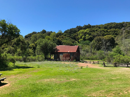
After over three weeks of socially isolating, me and my girlfriend decided to see each other, neither of us had been sick, and we had barely interacted with any other people, besides our household members. So I went down to San Jose to pay her a visit, and ended up spending three days, during which time I got in three short hikes hikes in the hills of south San Jose. The first, on Wednesday, April 15 began with my first visit to Almaden Quicksilver County Park, which had not been closed by Coronavirus regulations. Amber and I took a walk which carried us through some of the historic mining infrastructure, and up to the high point of the park, the strip mined remains of a feature called Mine Hill. It was 72 degrees, clear and very springlike, with abundant wildflowers.
During the hike, I got to thinking that over the course of it's lifetime, the New Almaden Quicksilver Mine must have been extremely profitable. But because the area was left polluted by mining activities, not much could be done to it in modern times besides turn it into a park. How much more money would the land have been worth had it left to be developed into suburban homes? As part of the new California gold rush: REAL ESTATE? But we were saved from even more stucco McMansions by the mining pollutions from the days of yore, and now have this urban escape to enjoy.
FURTHER READING
•Bob Burd: Bob tackles Mine Hill (and several others)
•BA Hiker: Lots of good information and history on Almaden Quicksilver Park
•Redwood Hikes: Great Photographs and detailed map, as usual

No comments:
Post a Comment