
 |
| Looking East |
DISTANCE: ~11 Miles
ELEVATION GAIN: `2200 feet
TIME TAKEN: ~5 Hours
SUMMIT: 2517 feet
ALAMEDA COUNTY, CA
DIABLO RANGE
Mission Peak, rising steeply from the back yard of suburban Fremont, CA is plagued by parents, children, dogs, jocks, joggers, teenagers, paragliders, and a host of other unpleasantries. But for the most part, they can be avoided as they come up the easily accessible West side trails, and congregate at the top of the summit. By approaching the peak from the Sunol Wilderness, the "back door" in the East, you can avoid most human contact (even on a Saturday) and see some unique Bay Area wildlands.
 |
| Looking Northeast |
"This back-door route to Mission Peak is a wilder, quieter alternative to more popular trails This is one of the longest approaches to the Mission Peak summit and arguably the best. It starts out at the park headquarters of Sunol Regional Wilderness and follows the Ohlone Wilderness Trail westward to the popular East Bay peak. Stretching the ascent to the peak across five miles, the route climbs through oak woodland on a peaceful, little-used stretch of the up the Ohlone Wilderness Trail. You'll pass the remains of a settler's cabin and see expansive vistas looking out over the Diablo Range." -All Trails
 |
| Map ©Alltrails.com |
CLICK "READ MORE" TO SEE ADDITIONAL PHOTOGRAPHY
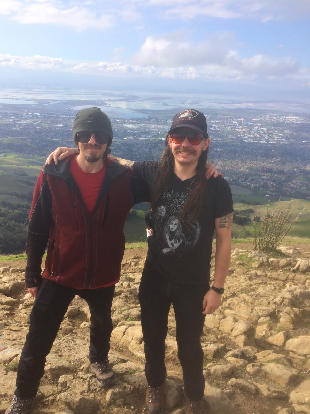 |
| Me and brother Alex at the top |
 |
| East to flag hill |
 |
| Summit panorama |
 |
| Northeast to Maguire Peaks |
 |
| Victory! |
No comments:
Post a Comment